STRUCTURAL UNCERTAINTY ASSESSMENT:
FAULT CONNECTIVITY AND RESERVOIR COMPARTMENTALISATION
Structural evaluation of petroleum prospect, uncertainty assessment during field development and later reservoir compartmentalisation studies for assets optimisation are carried out by only few companies and regulating authorities in the oil and gas industry. After initial structural studies leading to discovery and field development, there is need for structural assessment at field scale during the life of the project. Fault connectivity studies ensure that well placement (injectors and producers) are aligned across reservoir compartments, thereby optimising development and saving costs.
Understanding vertical and lateral reservoir compartmentalisation requires an in-depth fault connectivity analyses. Results of throw mapping, horizon top and base summation, Shale Gouge Ratio (SGR) and other fault assessment tools (including 4D, material balance and well testing / interference results, where available) would be helpful before, during and after drilling wells. It is useful for modelling, both in terms of STOIP computation and dynamic modelling.
Connectivity studies also evaluate abnormal pressures, underpressure and overpressures, depletion and impact on well completion as well as targeting infill wells for unswept hydrocarbon. Several modules are covered in Fault characterisation and connectivity assessment training, some of which are:
- Hydrocarbon Retention
- Sealing Processes
- Efficiency and Integrity of Seals
- Indication of Seal Breaching
- Types of Seals
- Vertical Lithological Seal
- Stress Seals
- The Pressure Seal
- Lateral Fault Seal
- Seal and Hydrocarbon Column Height
- Evaluation of Sealing and Leaking Faults
- Throw Mapping
- Shale Gauge Ratio – SGR
- Field Study of Fault Sealing
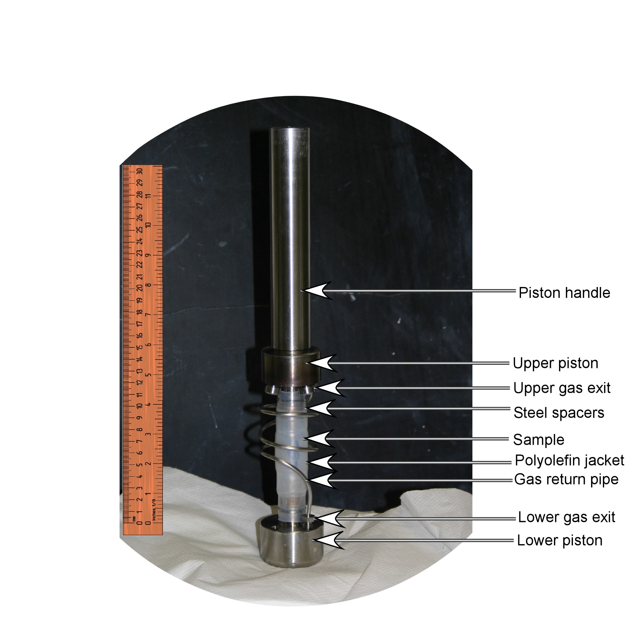
- Laboratory Study on Fault Seal
- Permeability Measurement
- Trap filling
- Modelling of Charging and Leakages
Sealing processes and the concept of sealing efficiency and integrity, indicating seal breaching of the top seal by various processes, can be illustrated in the laboratory and calibration adapted to various fields. This training will provide you with standard faults lateral boundaries algorithms and scales for assessing roles of different fault types in trap filling or retention. Understanding these is important before engaging in oil well operations and actual drilling, as well as field development and optimisation of assets.
The training is adapted for beginners and advanced geoscience personnel, drillers and reservoir engineers.
Cost: N120,000 ($400) per candidate (50% discount for students)
Duration: 5 days
Minimum 3 candidates for in-house training / 5 candidates for student group.
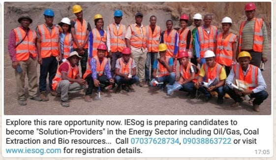
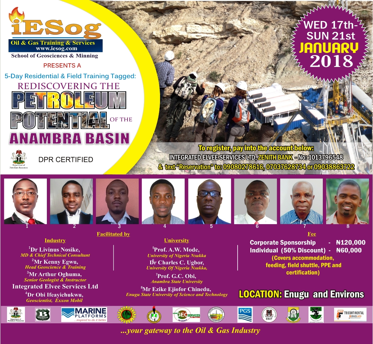
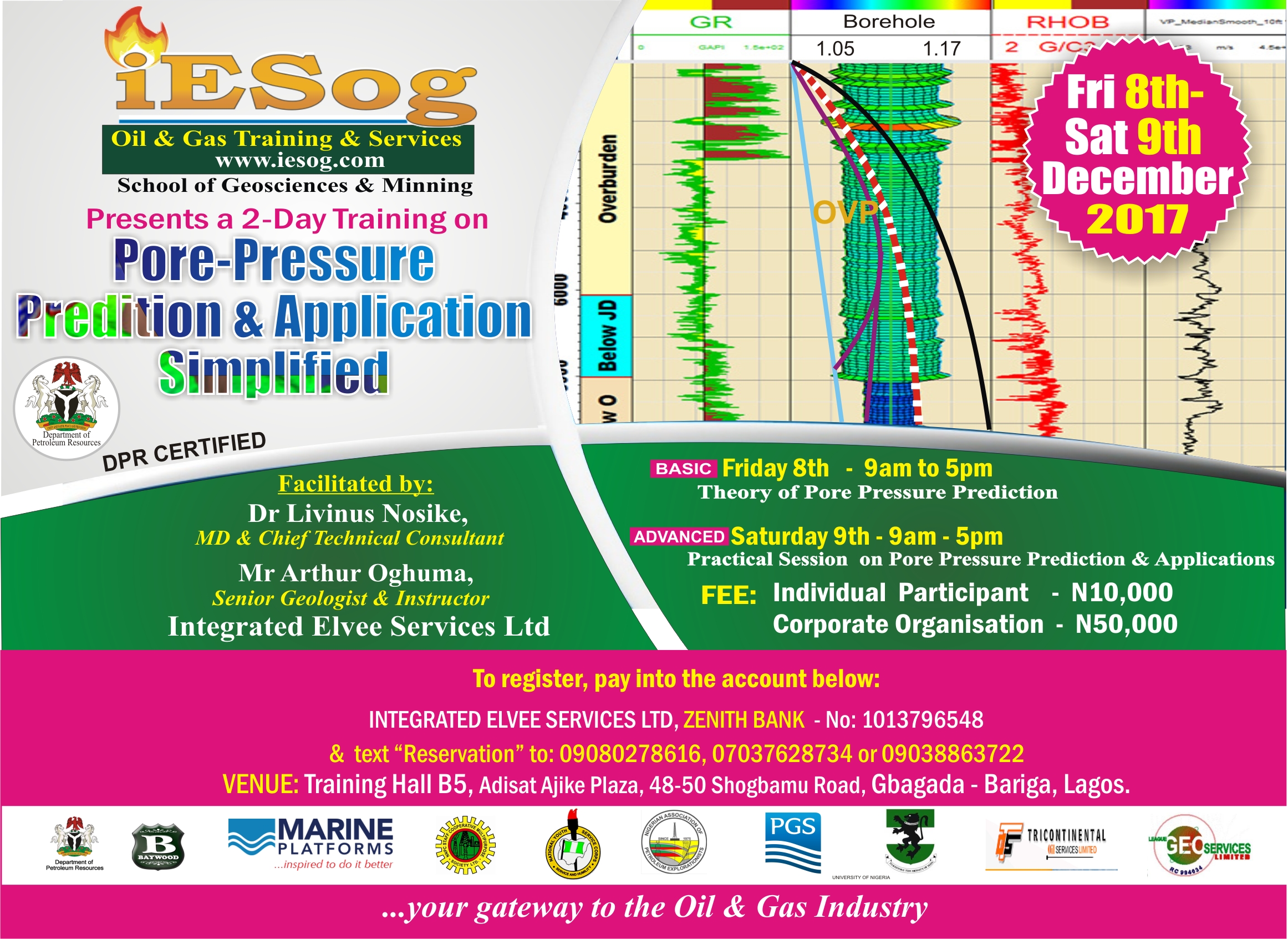
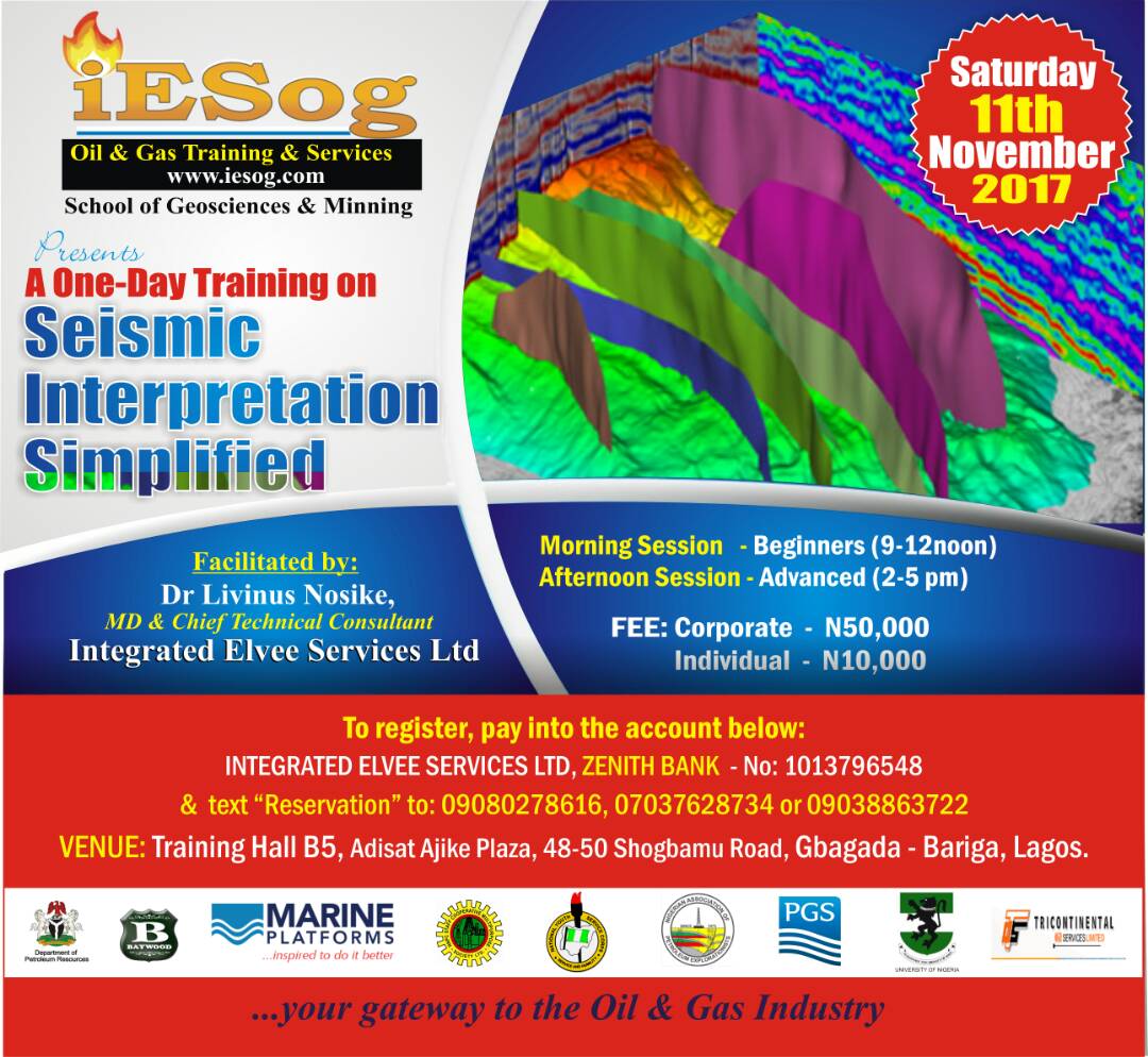
Contact: www.iesog.com contact@iesog.com +2349038863722