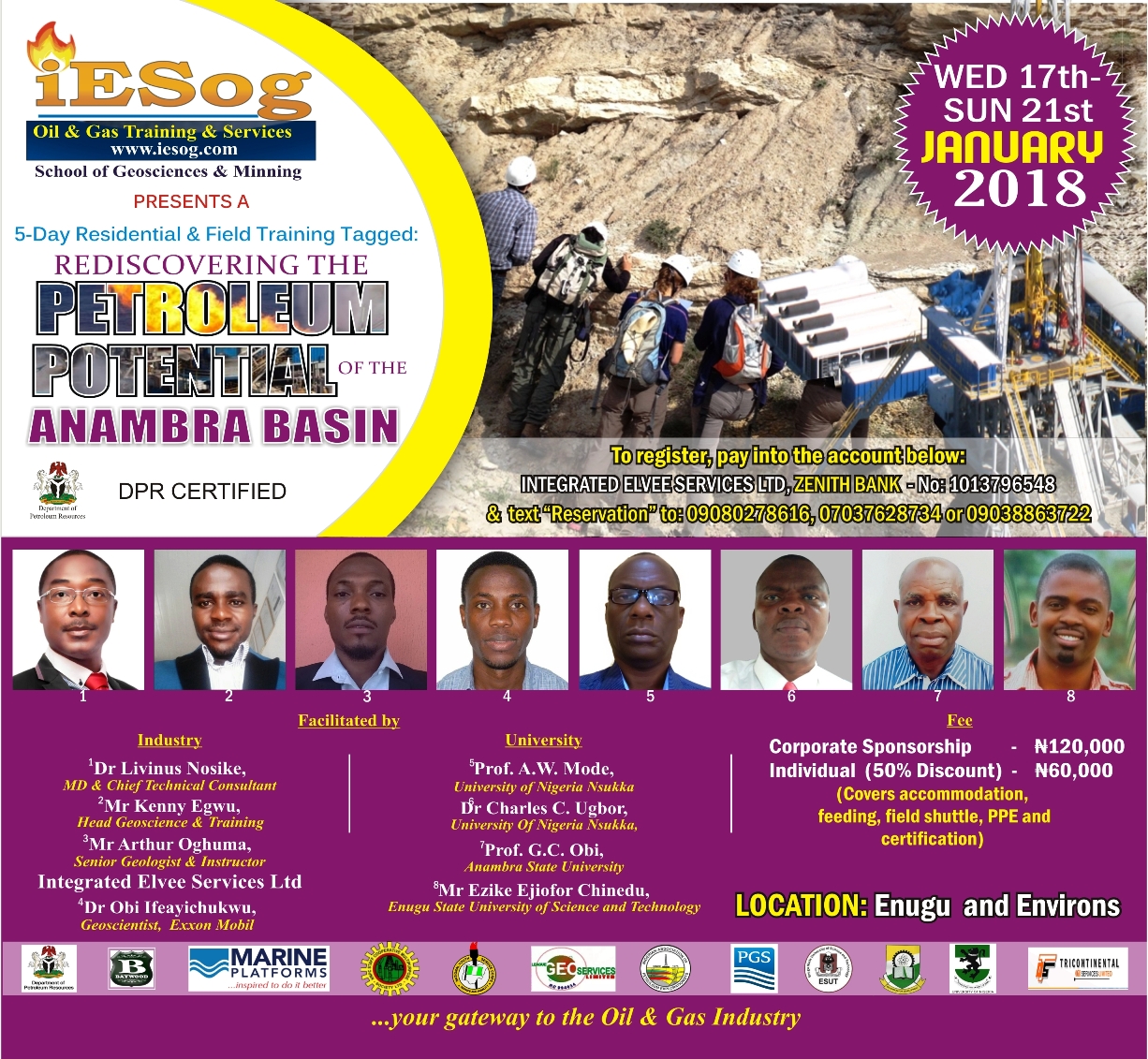
Weekly Petroleum Geoscience Digest
ANTICLINE: THE PETROLEUM GEOLOGIST’S RAINBOW! – 8 August 2017
– By Dr Livinus Nosike
On today’s digest, I introduce to you one of the most important structure in petroleum geoscience.
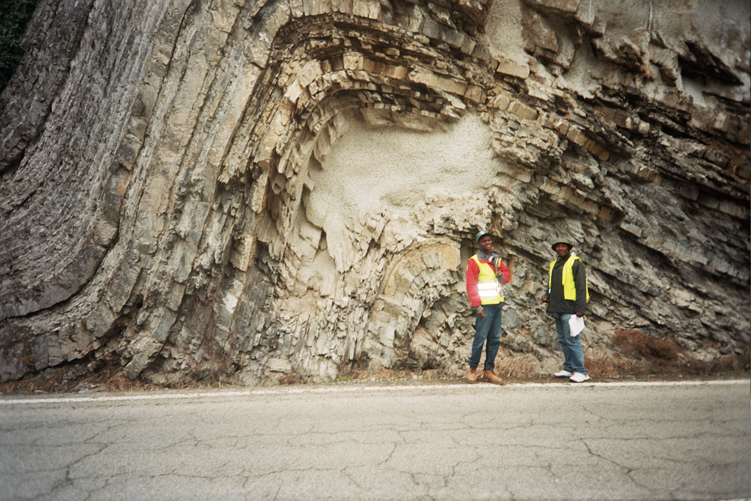
An anticline is a curved layer of the earth; it is like a curved bridge made of rocks (see the above picture of an anticline). When it curves on all sides, like an inverted pan covering what is underneath, it is called a dome. In petroleum exploration you say it is a four-way closure. That is, it closes or covers the oil and gas lying below on all sides. Anticline is perhaps the most important structure in oil and gas exploration and production. That is why I call it the petroleum geologist’s rainbow. Do you find anticlines in a sure petroleum system under the ground? You must drill it for oil…
I still remember that first day in a field geology class, and eventually in a structural geology lesson, when that shape was drawn on the board – a simple inverted curve like a rainbow. That day I learnt that it is even more important if it is broken and shifted, what is known as faulting, as that further traps the oil below. I never knew this will become the most important and sought out geologic feature I will be looking for in oil and gas evaluation. Surprisingly anticlines are not hard to find!
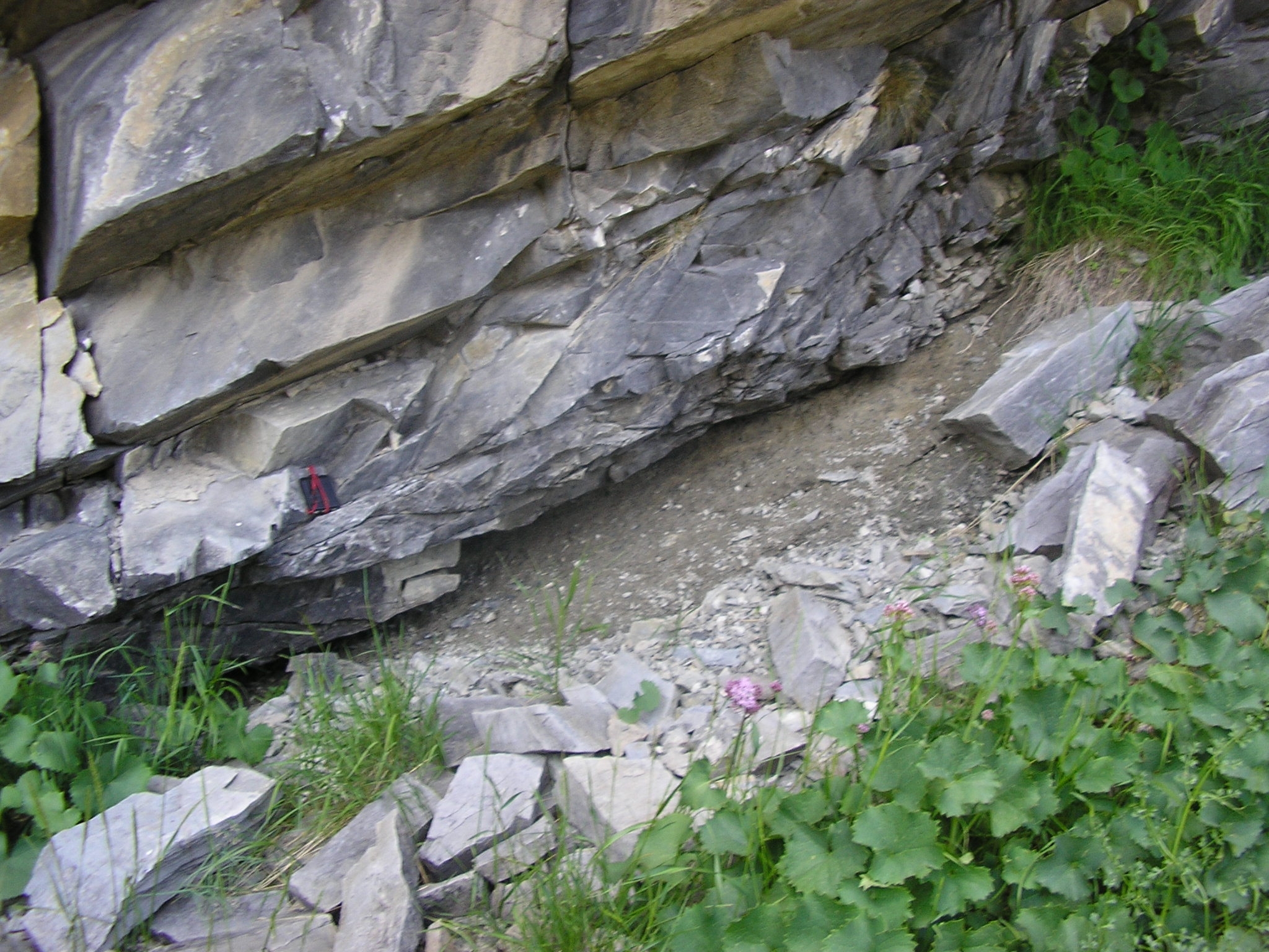
Have you been driving along a road and on the side you see curved earth, curved rock or sedimentary layers? That is an anticline. Does it look as if it is covering a sand body below? Are the earth layer dark and the sand inside whitish? You may be looking at a trap structure capable of holding in place oil and gas. In a sandstone-shale sequence, common in Nigeria and most petroliferous regions of the world, the sandstone holds the oil and gas while darker layer known as shale seals the oil below. From now onward, you are an anticline hunter! I permit you to find one as soon as possible 🙂
In the picture above, my friend and I are standing just beside one, along the road, during a geological field trip. Let me know if you find one.
So why is anticline very important?
It is because oil floats above water, always rising higher until it escapes. There is oil and water in pore spaces almost everywhere under the ground in petroleum zones. Problem is that while the water remains and is kept in place by gravity, the oil floats and escapes. All we need is to find places where the oil overlying the water is not able to escape. Anticlines do the job, it closes the oil and gas on the sides and have them trapped on the central conical top of its structure.
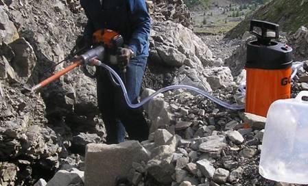
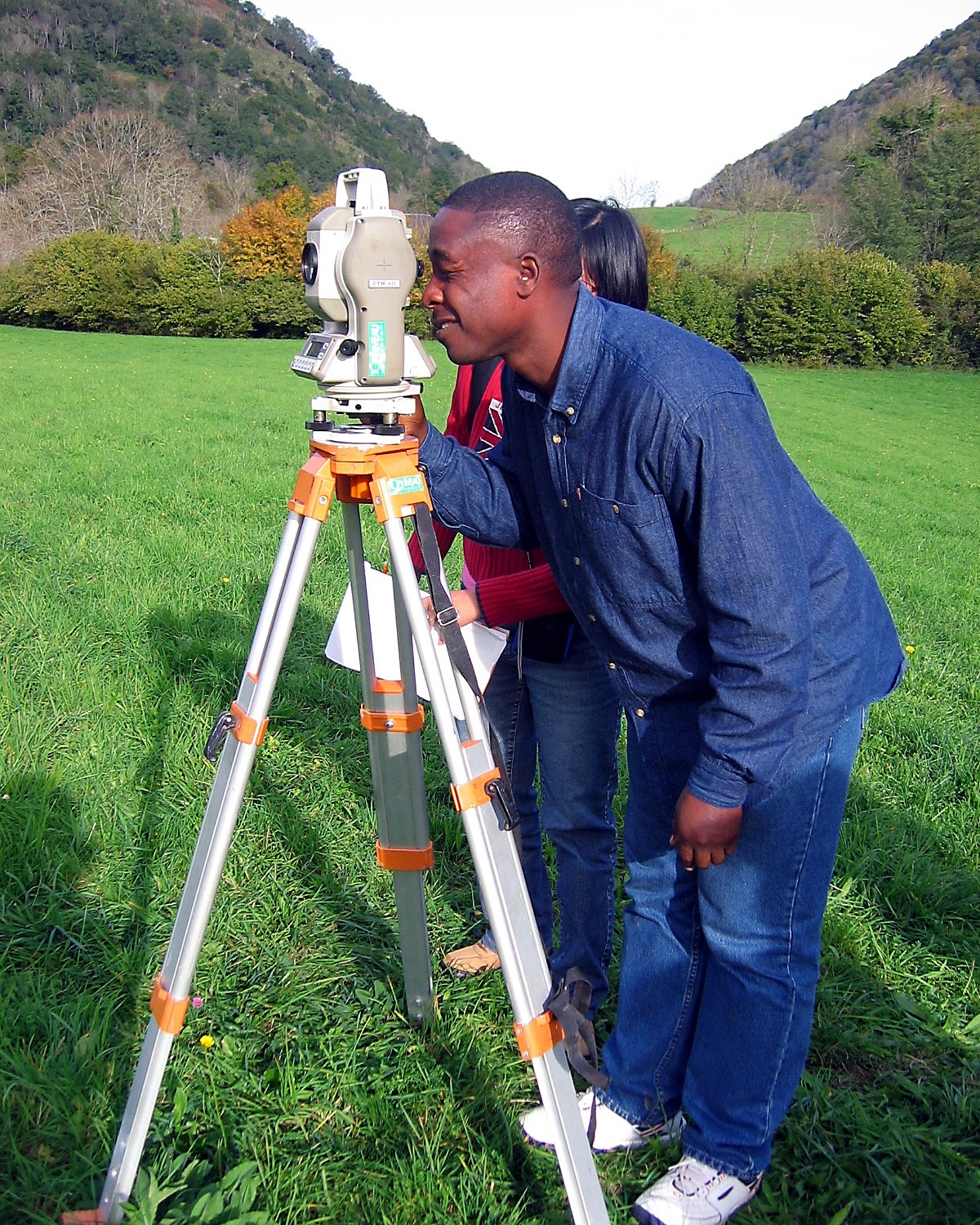
For an anticline to be very useful, it has to be deeply buried under the ground. Sorry, that anticline you found on the surface along the road cannot retain the oil in it because they are cut or too close to surface where the oil is able to leak out, is able to escape. Seismic images are used to see anticlines under the ground. Also during geologic field trip, you can use a compass, clinometers and other tools, to detect and measure places where only a bit of the sides of the anticline, known as flank, which usually looks like bent rocks, are exposed on the surface. They suggest, and help you to predict, that the major part of the anticline is buried deep under the ground.
That is our work as geoscientist. Are you interested?
Join me again for next week’s edition of petroleum geoscience digest.
For more info, contact Dr Livinus Nosike: contact@iesog.com